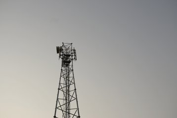
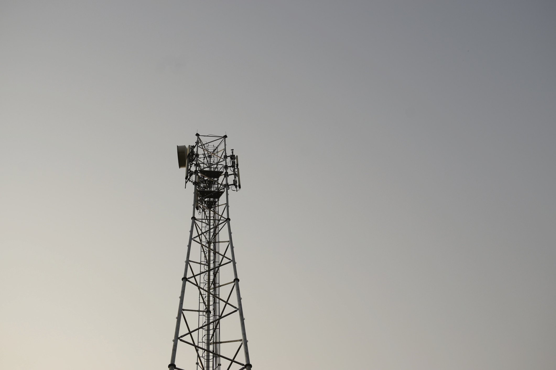
The Indian government announced plans last week to geotag key telecom infrastructure, including telecom towers and optical fiber cables to support coordination, particularly in disaster situations.
As reported by the Economic Times, the initiative is set to be completed by 2027, and aims to improve cooperation during emergencies and disaster situations.
The Department of Telecommunications (DoT) is running the process and will work with other ministries and state governments to share data and facilitate this process.
It's part of India's broader plans to become a developed nation by 2047, reported the publication.
Geotagging adds geographic coordinates to media such as geotagged photographs or videos, websites, SMS messages, QR Codes, or RSS feeds. It effectively provides a digital footprint that can be linked to cell towers or infrastructure.
For example, geotagged infrastructure will be able to provide accurate details for network operators if the network is down in a certain location.
ET reports that the government will initially work with state-run operators such as Bharat Sanchar Nigam Ltd (BSNL).
Geotagging has been successfully used in the US and Mexico, notably supporting law enforcement in criminal investigations where time has been in short supply.


